
ملف:Oran Province narrow border.svg

حجم معاينة PNG لذلك الملف ذي الامتداد SVG: 800 × 535 بكسل. الأبعاد الأخرى: 320 × 214 بكسل | 640 × 428 بكسل | 1٬024 × 685 بكسل | 1٬280 × 856 بكسل | 2٬560 × 1٬711 بكسل | 1٬255 × 839 بكسل.
الملف الأصلي (ملف SVG، أبعاده 1٬255 × 839 بكسل، حجم الملف: 79 كيلوبايت)
| هذا ملف من ويكيميديا كومنز. معلومات من صفحة وصفه مبينة في الأسفل. كومنز مستودع ملفات ميديا ذو رخصة حرة. |
ملخص
How to change this map. In Inkscape the window looks like this:To change a color of any municipality on this map, change fill color in window 1 . To change the borders go to the main menu, Edit>>Select All. Then Object>>Fill and Stroke. Then in window 2, x turns the borders off. The square turns the borders on. In window 2 the color of border can be changed like the fill color. In window 3 the width of the borders can be changed.

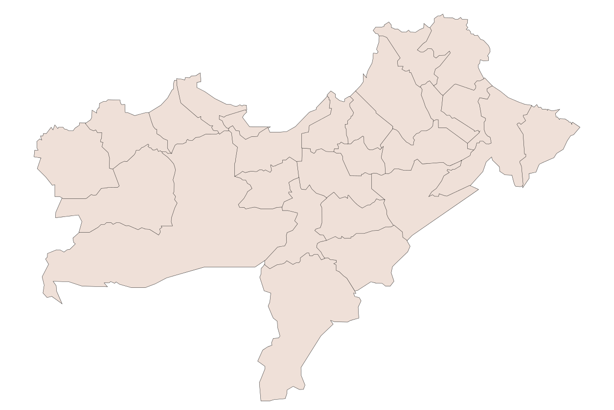
| الوصف | Oran Province, Algeria |
| التاريخ | |
| المصدر | عمل شخصي |
| المؤلف | Sagredo |
| إصدارات أخرى |
أَعمالٌ مُشتقَّة مِن هذا الملفِّ: |
ترخيص
| أنا، مالِك حقوق تأليف ونشر هذا العمل، أجعله في النِّطاق العامِّ، يسري هذا في أرجاء العالم كلِّه. في بعض البلدان، قد يكون هذا التَّرخيص غيرَ مُمكنٍ قانونيَّاً، في هذه الحالة: أمنح الجميع حق استخدام هذا العمل لأي غرض دون أي شرط ما لم يفرض القانون شروطًا إضافية. |
تاريخ الملف
اضغط على زمن/تاريخ لرؤية الملف كما بدا في هذا الزمن.
| زمن/تاريخ | صورة مصغرة | الأبعاد | مستخدم | تعليق | |
|---|---|---|---|---|---|
| حالي | 04:22، 11 يناير 2008 | | 1٬255 × 839 (79 كيلوبايت) | Sagredo | How to change this map. In Inkscape the window looks like this:To change a color of any municipality on this map, change fill color in window 1 . To change the borders go to the main menu, Edit>>Select All. Then Object>>Fill and Stroke. Then in window |
| 04:00، 11 يناير 2008 |  | 1٬255 × 839 (80 كيلوبايت) | Sagredo | How to change this map. In Inkscape the window looks like this:To change a color of any municipality on this map, change fill color in window 1 . To change the borders go to the main menu, Edit>>Select All. Then Object>>Fill and Stroke. Then in window |
استخدام الملف
لا توجد صفحات تستخدم هذا الملف.
الاستخدام العالمي للملف
الويكيات الأخرى التالية تستخدم هذا الملف:
- الاستخدام في en.wikipedia.org
- الاستخدام في www.wikidata.org