
ملف:Worcestershire UK location map.svg

حجم معاينة PNG لذلك الملف ذي الامتداد SVG: 677 × 600 بكسل. الأبعاد الأخرى: 271 × 240 بكسل | 542 × 480 بكسل | 867 × 768 بكسل | 1٬156 × 1٬024 بكسل | 2٬313 × 2٬048 بكسل | 1٬425 × 1٬262 بكسل.
الملف الأصلي (ملف SVG، أبعاده 1٬425 × 1٬262 بكسل، حجم الملف: 1٫8 ميجابايت)
| هذا ملف من ويكيميديا كومنز. معلومات من صفحة وصفه مبينة في الأسفل. كومنز مستودع ملفات ميديا ذو رخصة حرة. |
| الوصف |
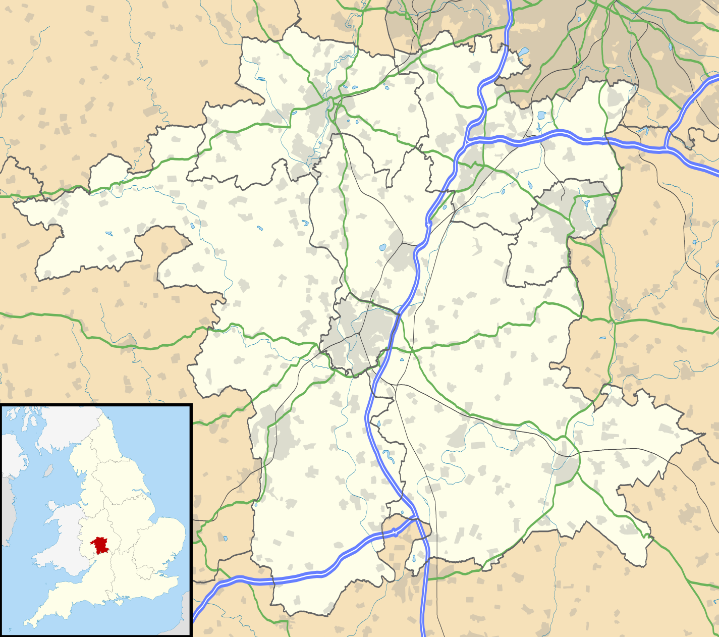
Map of Worcestershire, UK with the following information shown:
Equirectangular map projection on WGS 84 datum, with N/S stretched 160% Geographic limits:
|
| التاريخ | |
| المصدر |
|
| المؤلف | Nilfanion, created using Ordnance Survey data |
| الترخيص (إعادة استخدام هذا الملف) |
هذا الملفُّ مُرخَّص بموجب رخصة المشاع الإبداعي نسبة المُصنَّف إِلى مُؤَلِّفه - المشاركة بالمثل 3.0 العامة نسب العمل لمُؤَلِّفه: Contains Ordnance Survey data © Crown copyright and database right
|
| إصدارات أخرى | File:Worcestershire UK district map (blank).svg - Blank map |
.svg)
تاريخ الملف
اضغط على زمن/تاريخ لرؤية الملف كما بدا في هذا الزمن.
| زمن/تاريخ | صورة مصغرة | الأبعاد | مستخدم | تعليق | |
|---|---|---|---|---|---|
| حالي | 19:20، 26 سبتمبر 2010 | | 1٬425 × 1٬262 (1٫8 ميجابايت) | Nilfanion | {{Information |Description=Map of Worcestershire, UK with the following information shown: *Administrative borders *Coastline, lakes and rivers *Roads and railways *Urban areas Equirectangular map projection on WGS 84 datum, with N/S |
استخدام الملف
الصفحتان التاليتان تستخدمان هذا الملف:
الاستخدام العالمي للملف
الويكيات الأخرى التالية تستخدم هذا الملف:
- الاستخدام في bg.wikipedia.org
- الاستخدام في ceb.wikipedia.org
- الاستخدام في en.wikipedia.org
- Kidderminster
- Battle of Worcester
- Worcester Cathedral
- Droitwich Spa
- Evesham
- Bromsgrove
- Bewdley
- Malvern, Worcestershire
- Pershore
- Upton-upon-Severn
- Stourport-on-Severn
- Stoke Heath, Worcestershire
- Tenbury Wells
- Barnt Green
- Great Malvern
- Bredon
- Wythall
- Hollywood, Worcestershire
- Lindridge
- Abberley
- Malvern Wells
- Hartlebury
- Bordesley, Worcestershire
- Wadborough
- Malvern Link
- Tardebigge
- Shelsley Walsh
- Barnards Green
- Pinvin
- Broadway, Worcestershire
- The Fleece Inn
- Droitwich Transmitting Station
- Eckington, Worcestershire
- Alvechurch
- Areley Kings
- Leigh, Worcestershire
- Romsley, Worcestershire
- Lickey
- Lickey End
- Cofton Hackett
- Upper Arley
- Kempsey, Worcestershire
- List of places in Worcestershire
- Hopwood, Worcestershire
- Ryall, Worcestershire
- Hopwood Park services
- Catshill
- Holt Heath, Worcestershire
اعرض المزيد من الاستخدام العام لهذا الملف.