
ملف:Aberdeenshire UK location map.svg

حجم معاينة PNG لذلك الملف ذي الامتداد SVG: 682 × 600 بكسل. الأبعاد الأخرى: 273 × 240 بكسل | 546 × 480 بكسل | 873 × 768 بكسل | 1٬165 × 1٬024 بكسل | 2٬329 × 2٬048 بكسل | 1٬425 × 1٬253 بكسل.
الملف الأصلي (ملف SVG، أبعاده 1٬425 × 1٬253 بكسل، حجم الملف: 1٫84 ميجابايت)
| هذا ملف من ويكيميديا كومنز. معلومات من صفحة وصفه مبينة في الأسفل. كومنز مستودع ملفات ميديا ذو رخصة حرة. |
| الوصف |
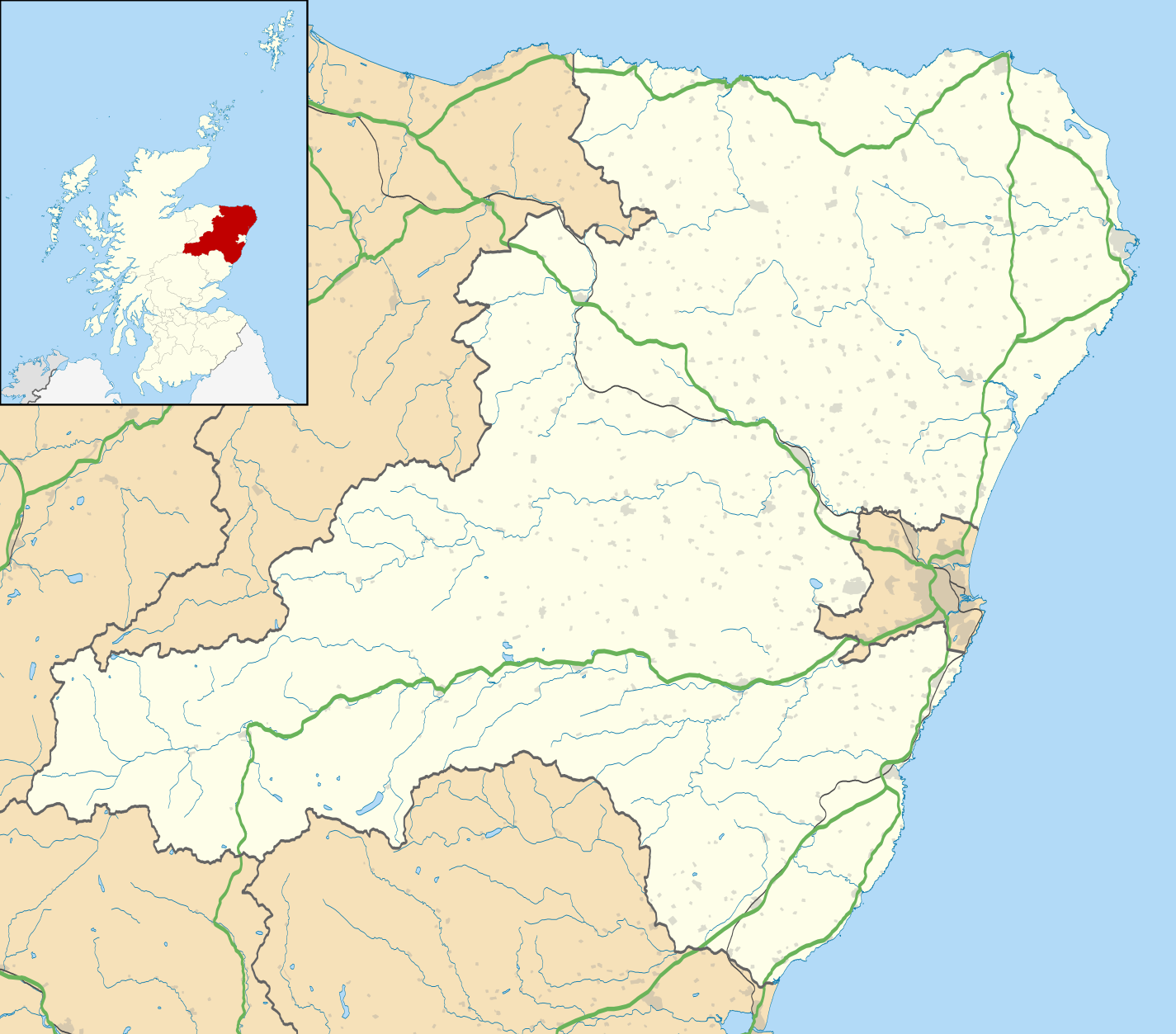
Blank map of Aberdeenshire, UK with the following information shown:
Equirectangular map projection on WGS 84 datum, with N/S stretched 180% Geographic limits:
|
| التاريخ | |
| المصدر |
|
| المؤلف | Nilfanion, created using Ordnance Survey data |
| الترخيص (إعادة استخدام هذا الملف) |
هذا الملفُّ مُرخَّص بموجب رخصة المشاع الإبداعي نسبة المُصنَّف إِلى مُؤَلِّفه - المشاركة بالمثل 3.0 العامة نسب العمل لمُؤَلِّفه: Contains Ordnance Survey data © Crown copyright and database right
|
| إصدارات أخرى | File:Aberdeenshire UK blank map.svg - Blank map |
تاريخ الملف
اضغط على زمن/تاريخ لرؤية الملف كما بدا في هذا الزمن.
| زمن/تاريخ | صورة مصغرة | الأبعاد | مستخدم | تعليق | |
|---|---|---|---|---|---|
| حالي | 19:59، 26 سبتمبر 2010 | | 1٬425 × 1٬253 (1٫84 ميجابايت) | Nilfanion | {{Information |Description=Blank map of Aberdeenshire, UK with the following information shown: *Administrative borders *Coastline, lakes and rivers *Roads and railways *Urban areas Equirectangular map projection on WGS 84 datum, with |
استخدام الملف
الصفحة التالية تستخدم هذا الملف:
الاستخدام العالمي للملف
الويكيات الأخرى التالية تستخدم هذا الملف:
- الاستخدام في az.wikipedia.org
- الاستخدام في ba.wikipedia.org
- الاستخدام في bg.wikipedia.org
- الاستخدام في ceb.wikipedia.org
- الاستخدام في de.wikipedia.org
- الاستخدام في en.wikipedia.org
- Aberdeenshire
- Balmoral Castle
- List of monastic houses in Scotland
- Stonehaven
- Fraserburgh
- Battle of Lumphanan
- Huntly
- Portsoy
- Inverurie
- Banchory
- Ballater
- Bellabeg
- Dunnottar Castle
- Braemar Castle
- Drum Castle
- Crathes Castle
- Kildrummy Castle
- Huntly Castle
- New Slains Castle
- Westhill, Aberdeenshire
- Rosehearty
- Braemar
- Fettercairn
- Tarland
- Ellon, Aberdeenshire
- Aboyne
- Aberchirder
- Newburgh, Aberdeenshire
- Cruden Bay
- Turriff
- Fyvie
- Alford, Aberdeenshire
- Kintore, Aberdeenshire
- Kemnay, Aberdeenshire
- Crathie Kirk
اعرض المزيد من الاستخدام العام لهذا الملف.