
ملف:Caribbean - Isla Margarita.PNG

حجم هذه المعاينة: 800 × 522 بكسل. الأبعاد الأخرى: 320 × 209 بكسل | 640 × 417 بكسل | 929 × 606 بكسل.
الملف الأصلي (929 × 606 بكسل حجم الملف: 48 كيلوبايت، نوع MIME: image/png)
| هذا ملف من ويكيميديا كومنز. معلومات من صفحة وصفه مبينة في الأسفل. كومنز مستودع ملفات ميديا ذو رخصة حرة. |
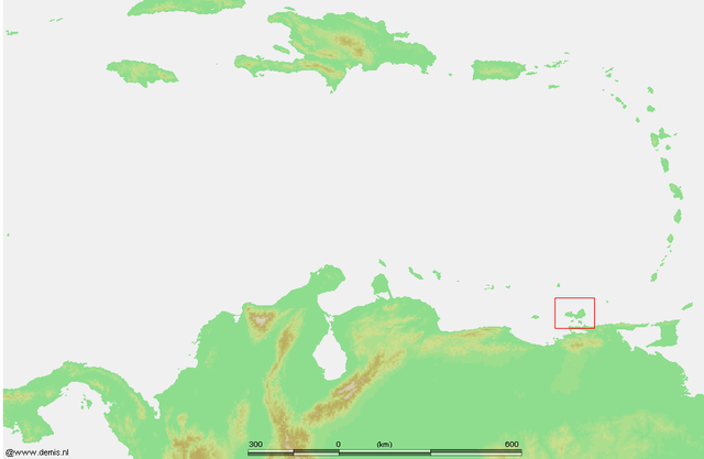
| الوصف | Caribbean - Isla Margarita.PNG | ||||
| المصدر | own work based on PD map | ||||
| المؤلف | edited by M.Minderhoud | ||||
| الترخيص (إعادة استخدام هذا الملف) |
|
تاريخ الملف
اضغط على زمن/تاريخ لرؤية الملف كما بدا في هذا الزمن.
| زمن/تاريخ | صورة مصغرة | الأبعاد | مستخدم | تعليق | |
|---|---|---|---|---|---|
| حالي | 22:04، 24 يوليو 2006 | | 929 × 606 (48 كيلوبايت) | Michiel1972 | {{Information |Description= {{subst:PAGENAME}} |Source= own work based on PD map |Date= |Author= edited by M.Minderhoud |Permission= {{PD-Demis}} |other_versions= }} category:Locator maps of islands in the Caribbean |
استخدام الملف
الصفحة التالية تستخدم هذا الملف:
الاستخدام العالمي للملف
الويكيات الأخرى التالية تستخدم هذا الملف:
- الاستخدام في an.wikipedia.org
- الاستخدام في arz.wikipedia.org
- الاستخدام في ca.wikipedia.org
- الاستخدام في cs.wikipedia.org
- الاستخدام في de.wikipedia.org
- الاستخدام في el.wikipedia.org
- الاستخدام في eo.wikipedia.org
- الاستخدام في es.wikipedia.org
- الاستخدام في eu.wikipedia.org
- الاستخدام في gl.wikipedia.org
- الاستخدام في hu.wikipedia.org
- الاستخدام في it.wikipedia.org
- الاستخدام في ko.wikipedia.org
- الاستخدام في lb.wikipedia.org
- الاستخدام في nl.wikipedia.org
- الاستخدام في ru.wikipedia.org
- الاستخدام في sv.wikipedia.org
- الاستخدام في www.wikidata.org