
ملف:Europe location WAL2.png

حجم هذه المعاينة: 800 × 600 بكسل. الأبعاد الأخرى: 320 × 240 بكسل | 640 × 480 بكسل | 1٬024 × 768 بكسل | 1٬280 × 960 بكسل | 1٬600 × 1٬200 بكسل.
الملف الأصلي (1٬600 × 1٬200 بكسل حجم الملف: 803 كيلوبايت، نوع MIME: image/png)
| هذا ملف من ويكيميديا كومنز. معلومات من صفحة وصفه مبينة في الأسفل. كومنز مستودع ملفات ميديا ذو رخصة حرة. |
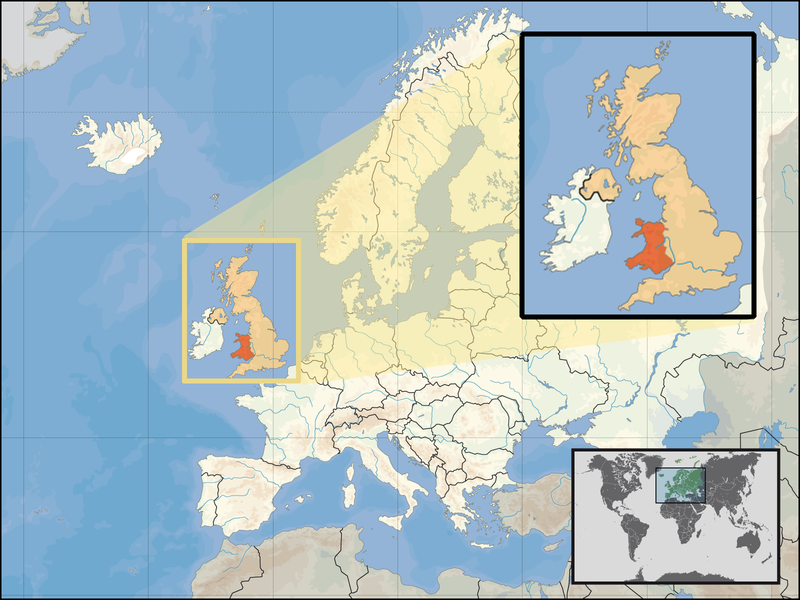
| الوصف | Location of Wales in the UK and Europe, on terrain map showing surface and underwater contour areas. | |||
| التاريخ | ||||
| المصدر | Derived from Wikimedia Commons image of original work forming part of the "Europe location" map series created by David Liuzzo: derived from Image:Europe_location_WAL.png. | |||
| المؤلف | uploaded by User:Kmusser (excerpt from User:David_Liuzzo) | |||
| الترخيص (إعادة استخدام هذا الملف) |
|
|||
| إصدارات أخرى |
|


تاريخ الملف
اضغط على زمن/تاريخ لرؤية الملف كما بدا في هذا الزمن.
| زمن/تاريخ | صورة مصغرة | الأبعاد | مستخدم | تعليق | |
|---|---|---|---|---|---|
| حالي | 17:20، 24 سبتمبر 2008 | | 1٬600 × 1٬200 (803 كيلوبايت) | Kmusser | {{Information |Description= Location of Wales in the UK and Europe, on terrain map showing surface and underwater contour areas. |Source=Derived from Wikimedia Commons image of original work forming part of the "Europe location" map series cre |
استخدام الملف
ال3 صفحات التالية تستخدم هذا الملف:
الاستخدام العالمي للملف
الويكيات الأخرى التالية تستخدم هذا الملف:
- الاستخدام في an.wikipedia.org
- الاستخدام في az.wiktionary.org
- الاستخدام في el.wikivoyage.org
- الاستخدام في en.wikipedia.org
- الاستخدام في eu.wiktionary.org
- الاستخدام في fo.wikipedia.org
- الاستخدام في gag.wikipedia.org
- الاستخدام في gom.wikipedia.org
- الاستخدام في gv.wikipedia.org
- الاستخدام في id.wikibooks.org
- الاستخدام في incubator.wikimedia.org
- الاستخدام في kaa.wikipedia.org
- الاستخدام في kn.wikipedia.org
- الاستخدام في la.wikipedia.org
- الاستخدام في mr.wikipedia.org
- الاستخدام في my.wikipedia.org
- الاستخدام في nds-nl.wikipedia.org
- الاستخدام في pl.wikipedia.org
- الاستخدام في pl.wikivoyage.org
- الاستخدام في pl.wiktionary.org
- الاستخدام في pnb.wikipedia.org
- الاستخدام في ru.wiktionary.org
- الاستخدام في su.wikipedia.org
- الاستخدام في ug.wikipedia.org
- الاستخدام في war.wikipedia.org
- الاستخدام في yo.wikipedia.org
- الاستخدام في zu.wikipedia.org