
ملف:Anguilla location map.svg

حجم معاينة PNG لذلك الملف ذي الامتداد SVG: 664 × 599 بكسل. الأبعاد الأخرى: 266 × 240 بكسل | 532 × 480 بكسل | 851 × 768 بكسل | 1٬134 × 1٬024 بكسل | 2٬269 × 2٬048 بكسل | 1٬777 × 1٬604 بكسل.
الملف الأصلي (ملف SVG، أبعاده 1٬777 × 1٬604 بكسل، حجم الملف: 56 كيلوبايت)
| هذا ملف من ويكيميديا كومنز. معلومات من صفحة وصفه مبينة في الأسفل. كومنز مستودع ملفات ميديا ذو رخصة حرة. |
ملخص
| الوصف |
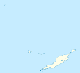
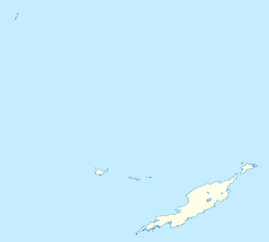
Deutsch: Positionskarte von Anguilla
Geographische Begrenzung der Karte:
English: Location map of Anguilla
Geographic limits of the map:
|
||||||||||||
| التاريخ | |||||||||||||
| المصدر | عمل شخصي | ||||||||||||
| المؤلف | NordNordWest | ||||||||||||
| الترخيص (إعادة استخدام هذا الملف) |
|
||||||||||||
| إصدارات أخرى | أَعمالٌ مُشتقَّة مِن هذا الملفِّ: Anguilla islands.svg |

|
أُنتجت هذه الخريطة أو حُسِّنت في مَرسم الخرائِط الأَلمانيُّ. يُمكنك أَيضاً اقتراح خرائِطَ أُخرى للتحسين.
|
تاريخ الملف
اضغط على زمن/تاريخ لرؤية الملف كما بدا في هذا الزمن.
| زمن/تاريخ | صورة مصغرة | الأبعاد | مستخدم | تعليق | |
|---|---|---|---|---|---|
| حالي | 18:34، 3 مايو 2010 | | 1٬777 × 1٬604 (56 كيلوبايت) | NordNordWest | == {{int:filedesc}} == {{Information |Description= {{de|Positionskarte von Anguilla}} Geographische Begrenzung der Karte: * N: 18.62° N * S: 18.14° N * W: 63.46° W * O: 62.90° W {{en|Location map of Anguilla}} Geograp |
استخدام الملف
الصفحة التالية تستخدم هذا الملف:
الاستخدام العالمي للملف
الويكيات الأخرى التالية تستخدم هذا الملف:
- الاستخدام في af.wikipedia.org
- الاستخدام في an.wikipedia.org
- الاستخدام في ast.wikipedia.org
- الاستخدام في ba.wikipedia.org
- الاستخدام في be.wikipedia.org
- الاستخدام في bg.wikipedia.org
- الاستخدام في bs.wikipedia.org
- الاستخدام في ceb.wikipedia.org
- Anguilla
- Gumagamit:Lsj/Test
- Plantilya:Location map United Kingdom Anguilla
- Sandy Island
- Long Bay
- Great Bay
- Shoal Bay
- West Point
- West Cay
- Sandy Point
- Long Rock
- Little Island
- Blowing Rock
- Windward Point
- Warner Point
- The Valley
- Valley
- Stoney Bay
- Spring Bay
- Sombrero (pagklaro)
- Hat Island
- Sombrero Island
- Snake Point
- Lovers Point
- Seal Rocks
- Seal Island
- Seal Islets
- Seal Islands
- Scrub Island
- Scrub Islet
- Savannah Bay
- Sand Island
- Sandy Hill Bay
- Road Point
- Road Bay
- North Side
- Shannon Hill
اعرض المزيد من الاستخدام العام لهذا الملف.