
ملف:Croton dam Brian.H Flickr 102843790 9ae9b1a96d o.jpg
لا توجد دقة أعلى متوفرة.
Croton_dam_Brian.H_Flickr_102843790_9ae9b1a96d_o.jpg (800 × 594 بكسل حجم الملف: 96 كيلوبايت، نوع MIME: image/jpeg)
| هذا ملف من ويكيميديا كومنز. معلومات من صفحة وصفه مبينة في الأسفل. كومنز مستودع ملفات ميديا ذو رخصة حرة. |
ملخص
|
 |
ترخيص
هذا الملف مُرخَّص برخصة المشاع الإبداعي العامة المُلزِمة بنسب العمل إلى مُؤَلِّفه 2.0
- يحقُّ لك:
- مشاركة العمل – نسخ العمل وتوزيعه وبثُّه
- إعادة إنتاج العمل – تعديل العمل
- حسب الشروط التالية:
- نسب العمل إلى مُؤَلِّفه – يلزم نسب العمل إلى مُؤَلِّفه بشكل مناسب وتوفير رابط للرخصة وتحديد ما إذا أجريت تغييرات. بالإمكان القيام بذلك بأية طريقة معقولة، ولكن ليس بأية طريقة تشير إلى أن المرخِّص يوافقك على الاستعمال.
| رَاجَع إِداريٌ أَو مُراجِعٌ هو Lar هذه الصُّورة المَنشُورة أَصلاً في فلِيكر، بتاريخ Septemeber 9, 2007 وأَكد أَنَّها كانت مُتاحةً في الموقع تحت التَّرخيص المَذكُور في ذلك التَّاريخ. |
تاريخ الملف
اضغط على زمن/تاريخ لرؤية الملف كما بدا في هذا الزمن.
| زمن/تاريخ | صورة مصغرة | الأبعاد | مستخدم | تعليق | |
|---|---|---|---|---|---|
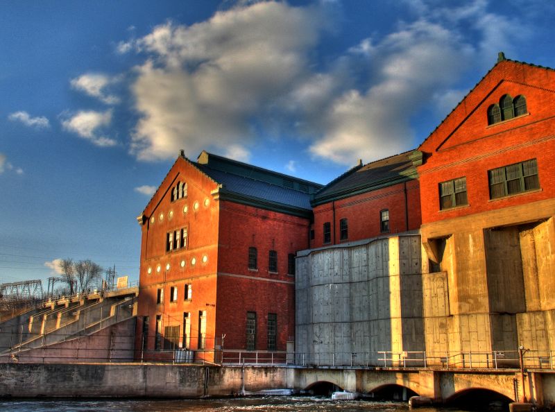
| حالي | 16:30، 9 سبتمبر 2007 | | 800 × 594 (96 كيلوبايت) | Lar | {{Information |Description=(by Brian.H, from the Flickr page) Combo of three handheld images. The left-hand side of this shows where the s/w couldn't match everything up quite right. I really have to remember to throw my tripod in the car! At least I d |
استخدام الملف
الصفحة التالية تستخدم هذا الملف:
الاستخدام العالمي للملف
الويكيات الأخرى التالية تستخدم هذا الملف:
- الاستخدام في ceb.wikipedia.org
- الاستخدام في cy.wikipedia.org
- الاستخدام في en.wikipedia.org
- الاستخدام في eo.wikipedia.org
- الاستخدام في he.wikipedia.org
- الاستخدام في hu.wikipedia.org
- الاستخدام في hy.wikipedia.org
- الاستخدام في no.wikipedia.org
- الاستخدام في pl.wikipedia.org
- الاستخدام في pt.wikipedia.org
- الاستخدام في ru.wikipedia.org
- الاستخدام في sr.wikipedia.org
- الاستخدام في tt.wikipedia.org
- الاستخدام في ur.wikipedia.org
- الاستخدام في www.wikidata.org