
ملف:Slovakia - background map.png

حجم هذه المعاينة: 800 × 431 بكسل. الأبعاد الأخرى: 320 × 172 بكسل | 640 × 345 بكسل | 1٬170 × 630 بكسل.
الملف الأصلي (1٬170 × 630 بكسل حجم الملف: 1٫32 ميجابايت، نوع MIME: image/png)
| هذا ملف من ويكيميديا كومنز. معلومات من صفحة وصفه مبينة في الأسفل. كومنز مستودع ملفات ميديا ذو رخصة حرة. |
ملخص
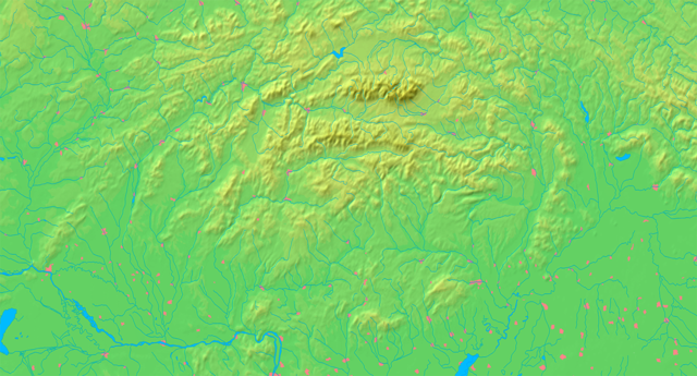
| الوصف | Background map of Slovakia, ready for the Geobox template, calibrated at en:Template:Geobox locator Slovakia | ||||
| التاريخ | |||||
| المصدر | Made my myself from free maps available at www.demis.nl | ||||
| المؤلف | Caroig | ||||
| الترخيص (إعادة استخدام هذا الملف) |
|
||||
| إصدارات أخرى | أَعمالٌ مُشتقَّة مِن هذا الملفِّ: Slovakia - physical map.png |
تاريخ الملف
اضغط على زمن/تاريخ لرؤية الملف كما بدا في هذا الزمن.
| زمن/تاريخ | صورة مصغرة | الأبعاد | مستخدم | تعليق | |
|---|---|---|---|---|---|
| حالي | 19:07، 8 سبتمبر 2007 | | 1٬170 × 630 (1٫32 ميجابايت) | Caroig | better version |
| 18:10، 8 سبتمبر 2007 |  | 1٬170 × 630 (1٫31 ميجابايت) | Caroig | ||
| 17:04، 3 سبتمبر 2007 |  | 2٬340 × 1٬259 (1٫61 ميجابايت) | Caroig | == Summary == {{Information |Description=Background map of Slovakia, for Geoboxes, the same boundaries as Image:Slovakia - outline map.svg |Source=Made my myself from free maps available at www.demis.nl |Date=2007-09-03 |Autho |
استخدام الملف
الصفحة التالية تستخدم هذا الملف:
الاستخدام العالمي للملف
الويكيات الأخرى التالية تستخدم هذا الملف:
- الاستخدام في arz.wikipedia.org
- الاستخدام في en.wikipedia.org
- الاستخدام في eo.wikipedia.org
- Distrikto Komárno
- Distrikto Zvolen
- Hron
- Granda Fatro
- Nacia parko Poloniny
- Sajó
- Distrikto Detva
- Distrikto Krupina
- Distrikto Banská Štiavnica
- Distrikto Žarnovica
- Distrikto Žiar nad Hronom
- Distrikto Banská Bystrica
- Distrikto Veľký Krtíš
- Distrikto Poltár
- Distrikto Lučenec
- Distrikto Brezno
- Distrikto Rimavská Sobota
- Distrikto Revúca
- Distrikto Rožňava
- Distrikto Levice
- Distrikto Snina
- Distrikto Svidník
- Distrikto Prešov
- Distrikto Humenné
- Distrikto Medzilaborce
- Distrikto Stropkov
- Distrikto Stará Ľubovňa
- Váh
- Distrikto Bardejov
- Distrikto Sabinov
- Distrikto Bytča
- Distrikto Bánovce nad Bebravou
- Distrikto Dolný Kubín
- Distrikto Dunajská Streda
- Distrikto Galanta
- Distrikto Gelnica
- Distrikto Hlohovec
- Distrikto Ilava
- Distrikto Kežmarok
- Distrikto Košice-ĉirkaŭaĵo
- Distrikto Kysucké Nové Mesto
- Distrikto Levoča
اعرض المزيد من الاستخدام العام لهذا الملف.