
ملف:South Africa Free State location map.svg

حجم معاينة PNG لذلك الملف ذي الامتداد SVG: 672 × 599 بكسل. الأبعاد الأخرى: 269 × 240 بكسل | 538 × 480 بكسل | 861 × 768 بكسل | 1٬148 × 1٬024 بكسل | 2٬296 × 2٬048 بكسل | 1٬130 × 1٬008 بكسل.
الملف الأصلي (ملف SVG، أبعاده 1٬130 × 1٬008 بكسل، حجم الملف: 286 كيلوبايت)
| هذا ملف من ويكيميديا كومنز. معلومات من صفحة وصفه مبينة في الأسفل. كومنز مستودع ملفات ميديا ذو رخصة حرة. |
ملخص
| الوصف |
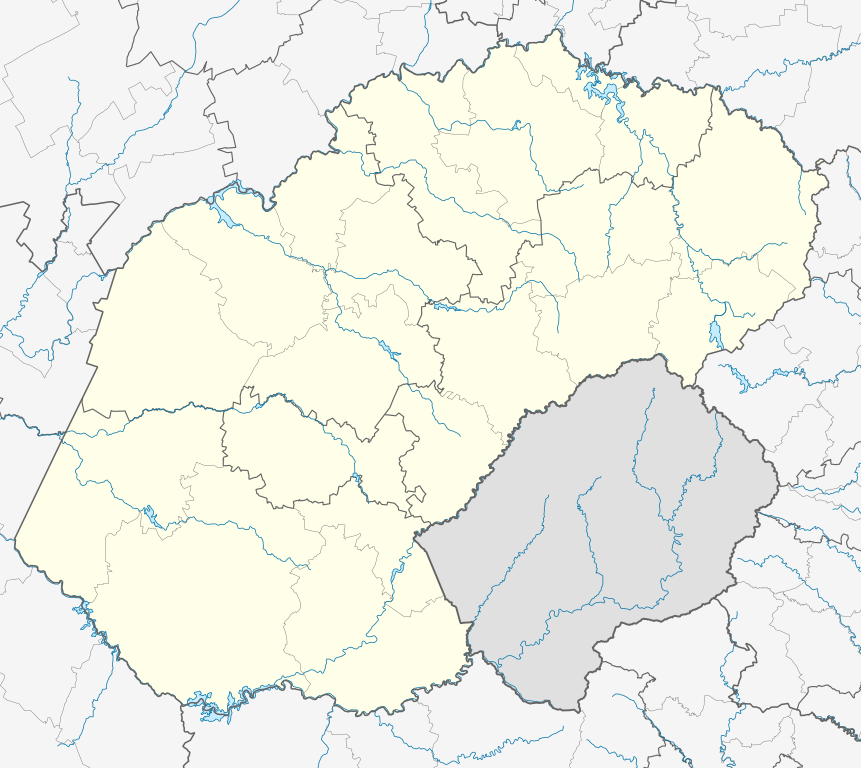
English: Location map of the Free State
Equirectangular projection, N/S stretching 114%. Geographic limits of the map:
|
| التاريخ | |
| المصدر |
|
| المؤلف | Htonl |
| الترخيص (إعادة استخدام هذا الملف) |
أنا، صاحب حقوق التأليف والنشر لهذا العمل، أنشر هذا العمل تحت الرخصة التالية: هذا الملفُّ مُرخَّص بموجب رخصة المشاع الإبداعي نسبة المُصنَّف إِلى مُؤَلِّفه - المشاركة بالمثل 3.0 العامة
|
| إصدارات أخرى | File:South Africa Free State relief location map.svg, File:Blank map of the Free State (2011).svg |
.svg)
تاريخ الملف
اضغط على زمن/تاريخ لرؤية الملف كما بدا في هذا الزمن.
| زمن/تاريخ | صورة مصغرة | الأبعاد | مستخدم | تعليق | |
|---|---|---|---|---|---|
| حالي | 23:54، 5 يناير 2013 | | 1٬130 × 1٬008 (286 كيلوبايت) | Htonl | == {{int:filedesc}} == {{Information |Description ={{en|Location map of the en:Free State Equirectangular projection, N/S stretching 114%. Geographic limits of the map: * N: 26.5° S * S: 31° S * W: 24.25° E * E: 30° E}} |Source = *... |
استخدام الملف
الصفحة التالية تستخدم هذا الملف:
الاستخدام العالمي للملف
الويكيات الأخرى التالية تستخدم هذا الملف:
- الاستخدام في af.wikipedia.org
- Bloemfontein
- Kroonstad
- Sasolburg
- Welkom
- Parys, Vrystaat
- Philippolis
- Bultfontein
- Trompsburg
- Rouxville
- Bethulie
- Bethlehem, Vrystaat
- Clarens, Vrystaat
- Fouriesburg
- Paul Roux
- Reitz
- Senekal
- Harrismith
- Kestell
- Lindley
- Wepener
- Golden Gate-Hoogland- Nasionale Park
- Clocolan
- Marquard
- Vrede, Vrystaat
- Memel, Vrystaat
- Arlington, Vrystaat
- Petrus Steyn
- Frankfort
- Villiers
- Cornelia
- Phuthaditjhaba
- Warden
- Ladybrand
- Ficksburg
- Rosendal
- Swinburne
- Tweeling, Vrystaat
- Zastron
- Excelsior, Vrystaat
- Hoopstad
- Sjabloon:Inligtingskas Nedersetting
- Jacobsdal
- Verkeerdevlei
- Winburg
- Botshabelo
- Vredefort
- Bothaville
- Jagersfontein
- Brandfort
- Koffiefontein
اعرض المزيد من الاستخدام العام لهذا الملف.